
August 2024 is just around the corner, what does that mean, you ask? charter fishing in Astoria, Oregon. You will want to book your guided fishing soon for the best dates Astoria Oregon fishing guides have to offer.
We will be fishing King Salmon from Astoria, Oregon, west to the famous Buoy 10—the mouth of the Columbia River.
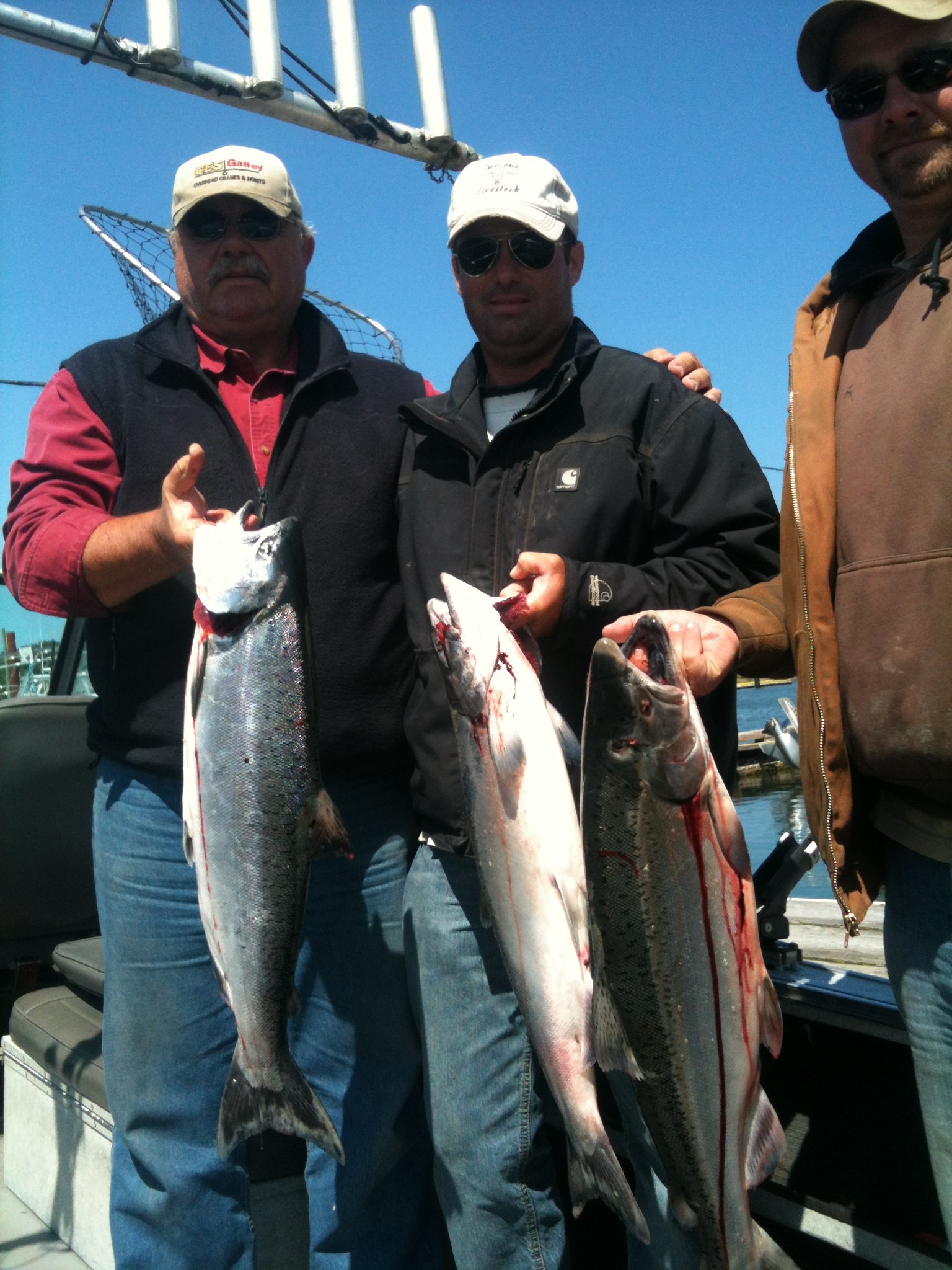
It is very common to get limits on salmon in August, with the average salmon being 25 pounds or bigger.
Also, the Columbia River gets a large run of Coho salmon, also known as Sliver salmon, running at the same time as the King Salmon.
This makes for a river full of salmon, and sometimes you’ll never know what you have at the end of the line.
We fish the lower Columbia River by trolling bait, usually fresh herring, behind the boat.
We point the boat with the current and let the bait out, where it spins to entice fish. We’ll be trolling with the current, so we have to move pretty quickly for the bait to move correctly.
The nice part about this, though, is that the fish will be moving the other way. When they bite, you’ll know it! The rod will double over into the water, and line will be screaming off the reel! Learn more by clicking here.
Right across from the boat ramp is big game fishing. Here, you can have your fresh salmon vacuum packed and ready for the freezer.
If you are thinking about fishing in August at Astoria’s Buoy 10 area, book now before it is too late, This is a very popular fishery, and days fill up fast.
Read my updated post charter fishing Astoria, Oregon, salmon fishing
Here are a few hotels and motels around Astoria and surrounding area.
Check out some of my favorite restaurants near Astoria and surrounding area.
Buoy 10 King Salmon fishing
Last Updated on by Marvin


My wife and I are coming out around the middle of May in 2014. We will be staying in Astoria. What kind of fishing opportunity and how far would we need to drive for Coho or Kings during this time of the year?
Mark
Hi mark, Middle of May I will be fishing in the Portland area for King salmon. Please Give me a call and I would be happy to hook you up.